|
|
|
|
Lake Powell from the air (2003)
|
|
|
|
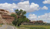
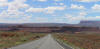
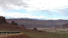
Lake Mead, with its harsh rocks and sucking mud (I didn't like Lake Mead), starts of the SW03 tour of Arizona and Utah
|
|
|
|
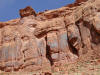
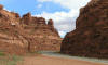
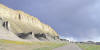
Cliffs in Glen Canyon NRA
|
|
|
|
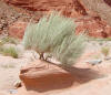
Desert plantlife
|
|
|
|
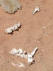
Desert wildlife (ex)
|
|
|
|
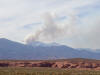
Fire on the Mountain (or is it a volcano?)
|
|
|
|
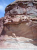
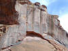
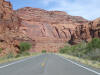
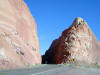
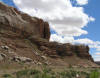
Strange rock face
|
|
|
|
Rounded roadside recesses
|
|
|
|
|
|
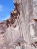
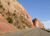
Sheer wall stained with "desert varnish"
|
|
|
|
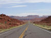
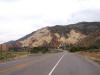
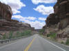
UT-95
|
|
|
|
Varnished wall
|
|
|
|
UT-95
|
|
|
|
Walls looming over UT-95
|
|
|
|
UT-95
|
|
|
|
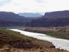
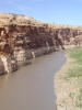
The Colorado River
|
|
|
|
The Colorado River, from the Colorado River Bridge
|
|
|
|
|
|
UT-95, near White Canyon
|
|
|
|
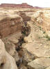
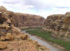
White Canyon
|
|
|
|
UT-95
|
|
|
|
UT-95, gap
|
|
|
|
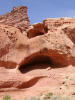
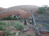
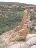
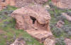
Hidden corral off UT-191
|
|
|
|
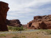
The rock that hides the hidden corral
|
|
|
|
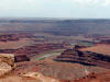
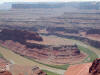
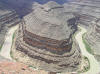
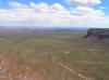
Dead Horse Point, near Moab
|
|
|
|
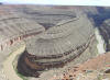
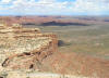
Dead Horse Point, near Moab
|
|
|
|
|
|
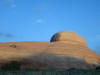
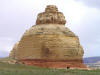
This is called Rock Candy Mountain. Seriously. It's on UT-89, not far from Cedar Breaks and Zion
|
|
|
|
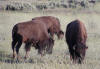
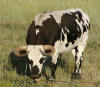
Some buffalo grazing next to UT-9, just west of Zion NP, during Roadromp04.
|
|
|
|
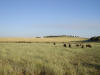
More buffalo, same place, same ramack
|
|
|
|
A mutant! Yes, it's a beefalo! (Seriously.)
|
|
|
|
The Buffalo Grill, serving, yes, buffalo burgers.
|
|
|
|
UT-89 South
|
|
|
|
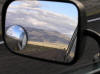
Had the sun blinding me in both mirrors at this point
|
|
|
|
UT-89 South, near Coral Pink Sand Dunes National Monument
|
|
|
|
|
|
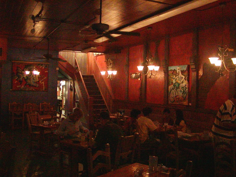
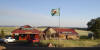
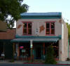
The Rocking V Cafe. Good three-cheese lasagna. Cool art gallery upstairs.
|
|

|
|
Rocking V's dining room.
|
|
|
|
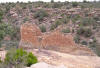
Hovenweep National Monument, 2005
|
|
|
|
Hovenweep National Monument
|
|
|
|
Hovenweep National Monument
|
|

|
|
Hovenweep National Monument
|
|
|
|
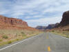
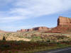
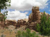
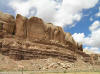
Church Rock, on UT-191, near Canyonlands NP's' Needles Area
|
|
|
|
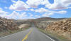
UT-191, entering the town of Bluff
|
|
|
|
|
|
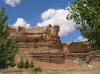
Rock wall over Bluff
|
|
|
|
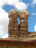
Bluff's famous Twin Rocks. Pretty funky stones.
|
|
|
|
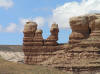
Twin Rocks from another angle
|
|
|
|
More bizarre Bluff rockery
|
|
|
|
More Bluff
|
|
|
|
UT-163 East, from Bluff, towards Four Corners
|
|
|
|
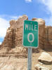
Bluff's version of Mile Zero
|
|
|
|
Bluff's bluff
|
|
|
|
|
|
UT-163 West, heading out of Bluff
|
|
|
|
UT-163 west
|
|
|
|
UT-163 overlooking the Valley of the Gods
|
|
|
|
Sunken hills, UT-163
|
|

|
|
Sunken hills, zoomed
|
|
|
|
Goosenecks State Park, UT-261, near nothing
|
|
|
|
Goosenecks SP
|
|

|
|
Goosenecks SP
|
|
|
|
|
|
Vista from Mokee Dugway, UT-261
|
|
|
|
Same spot, different angle
|
|
|
|
Same spot, yet another angle. Nice views from here, wouldn't you say?
|
|
|
|
Still another Mokee Dugway vista
|
|
|
|
UT-261, heading north from Mokee Dugway
|
|
|
|
UT-95, through Glen Canyon NRA.
|
|
|
|
Snowy peaks ahead, UT-95
|
|
|
|
UT-95, Glen Canyon NRA
|
|
|
|
|
|
Colorado River, UT-95, Glen Canyon NRA
|
|
|
|
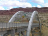
The Colorado River Bridge
|
|
|
|
The Colorado River
|
|
|
|
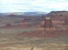
A lone butte, near Hite, on Lake Powell
|
|
|
|
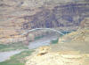
The Colorado River Bridge, as seen (zoomed) from Hite Overlook
|
|
|
|
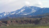
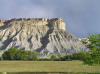
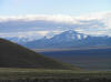
Mt. Ellen (11,522') on UT-95, near Hanksville
|
|
|
|
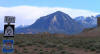
Appropriate sign
|
|
|
|
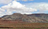
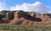
Grooved brown buttes, on UT-95, at Hanksville
|
|
|
|
|
|
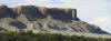
Gray buttes, UT-95, Hanksville
|
|
|
|
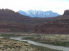
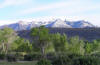
Green trees, white mountains, UT-24 west, near Hanksville
|
|
|
|
Gray and Green. UT-24 west, near Hanksville
|
|
|
|
Gray shapes, UT-24 west
|
|
|
|
Into the void. UT-21 west, towards Nevada
|
|
|
|
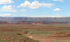
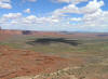
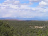
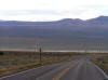
Empty prairie, Needle Range
|
|
|
|
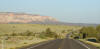
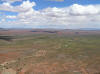
A look back at Utah (UT-21), approaching Nevada...
|
|
|